Around the Tehri Region
Seismological Network
The Seismological Network in Uttarakhand is a vital infrastructure aimed at monitoring and studying seismic activities in the region. Uttarakhand, nestled in the Himalayan foothills, is a seismically active zone prone to earthquakes due to its geological structure and tectonic activities.
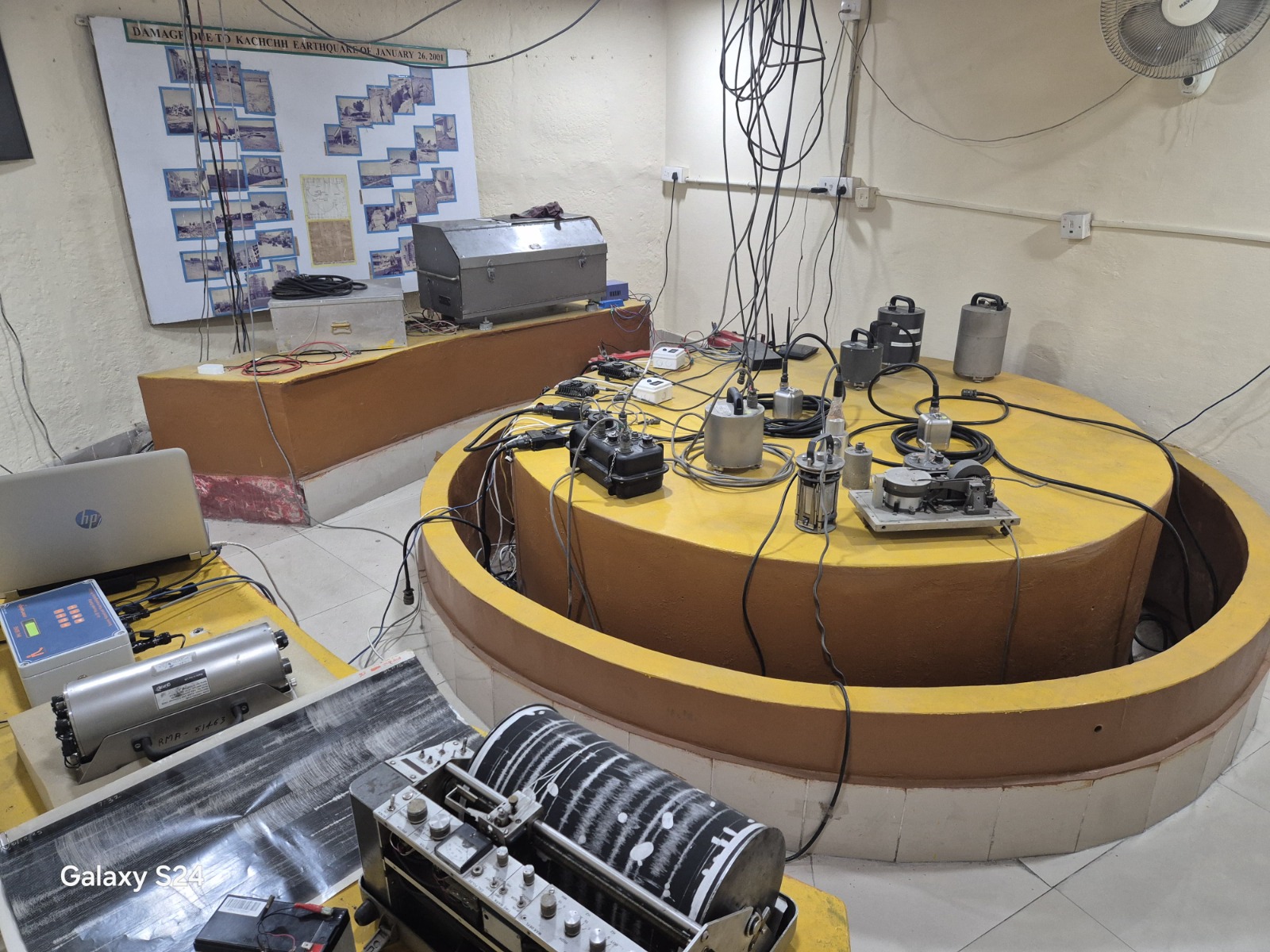
The seismological network comprises a system of seismic monitoring stations strategically placed across Uttarakhand. These stations are equipped with seismometers and other specialized instruments capable of detecting even minor seismic movements. The data collected from these stations is analyzed by seismologists to understand the patterns of seismicity, assess earthquake hazards, and provide early warnings to mitigate potential risks.
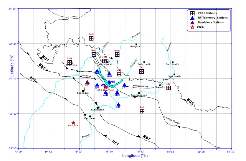
Map showing 18 stations (9 VSAT and 9 RF telemetry) and two CRSs of Seismological network around Tehri region. The locations of two stations working as standalone mode are also shown in the map. Tectonics of the region after Fuchs and Sinha (1978) and GSI (2000).
Following are the twenty seismological stations (9 VSAT, 9RF telemetry & 2 standalone) of Seismological network around Tehri region along with the locations of two CRSs. Tectonics after Fuchs and Sinha (1978) and GSI (2000).
